
Topographic Survey
The land survey that locates all-natural, man-made, and topographical features on a piece of property such as elevations of land, trees, buildings, roads, streets, fences, land contours, manholes, trees, rivers, streams, and many more is called a topographic survey.
At Kongunadu Surveyor, we understand the main two purposes of a topographical survey-
Plane Surveying: We achieve this by measuring the horizontal distances and horizontal angles or directions and make plans or maps of an area that show the main physical features on the ground, such as rivers, lakes, reservoirs, roads, forests, large rocks, and the various features of the ponds, dams, lakes, drainage ditches or sources of water.
Direct leveling: We get it done by measuring horizontal distances and height differences called vertical relief such as valleys, plains, hills, or slopes.

Boundary Survey
‘Boundaries don’t act as barriers, they hold us together’
A licensed Professional Land Surveyor establishes the corners of a piece of land as per the legal description within the deed, upon the ground, using his knowledge and experience. At Kongunadu Surveyor, we execute boundary surveys before buying, dividing, improving, or building on land and also identify boundary lines for the construction of fences, driveways, buildings, etc.
Why do we need a boundary survey?
- • To comprehend the boundary of the property planned to purchase or owned.
- • To identify any encroachments such as fences, sheds, pathways, buildings, parking lots, and other man-made improvements upon the property.
- • To record the property dimensions as well as the location of man-made developments in relationship to the boundary lines.

Interior Survey
KONGUNADU SURVEYOR is one of the topmost interior design survey companies in Coimbatore which caters to the process of visualizing, taking measurements and pictures of the space to be designed and discover the unexpected elements of architecture hidden inside.
With a tape measure and a laser measure in their hands, our Interior design surveyors take measurements of walls and doors, radiators, windows, and all the other fixings. With all these dimensions, a scale floor plan is created including wall thickness, door openings, ceiling heights by our Interior design survey services company in Coimbatore. These measurements are essential for an Interior designer to create and prepare a design tailored to that particular property.
Setting-out Survey
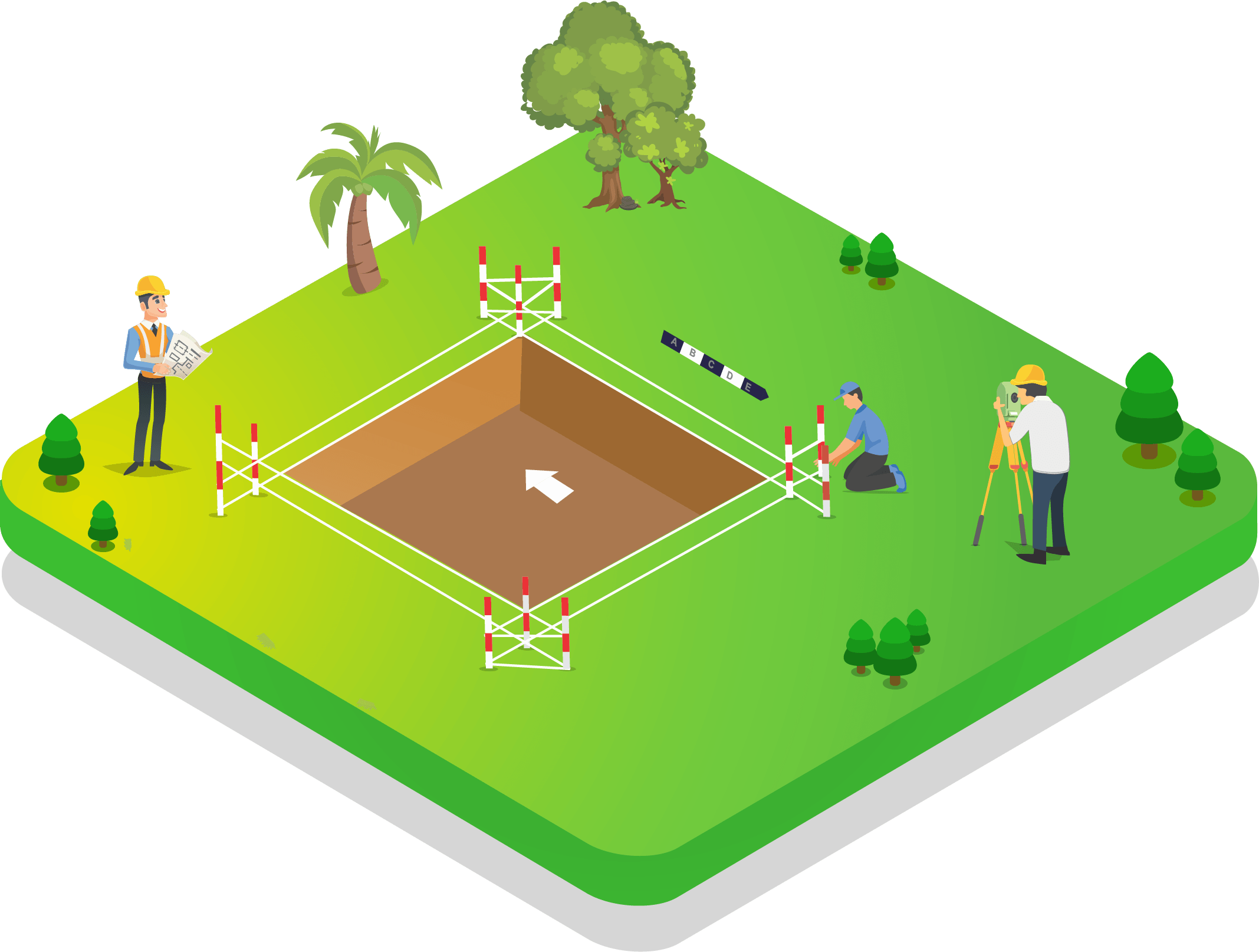
Have you ever seen a construction site lie seemingly unchanged for weeks while workers swarm all over and no building seems to be taking place and yet everyone onsite looks busier than ever?! This is the process of Setting out Survey services happening in a site once the architects have finalized the plans and data from a topographic survey has been collected.
Setting out survey is done competently by KONGUNADU SURVEYOR at Coimbatore by the practice of physically transferring the position of buildings, roads, drainages, and all engineering design onto the actual ground or site by clearly defining the outline of the excavation and the line of the walls so that the workers can follow it during construction.

Drone Mapping
Many industries need surveyors to evaluate large plots of land and provide them with detailed mapping and accurate measurements. Drones, also known as unmanned aerial vehicles (UAV), have been changing the way surveyors work. Drone surveyors conduct surveys from the sky instead of by land and hence it makes no obligatory for human operators to physically access sites in hazardous or difficult to reach locations.
Drone Surveying services in Coimbatore are efficiently carried out by KONGUNADU SURVEYOR as the use of drones allows land surveyors to obtain data just as accurately as traditional methods but in a safer, manageable, and time-efficient manner.
Where can drone survey be used?
Drone surveying services can be used from flatlands to deep pits, from establishing the general grade of an area to creating detailed maps of every square foot.
Control Network Establishment
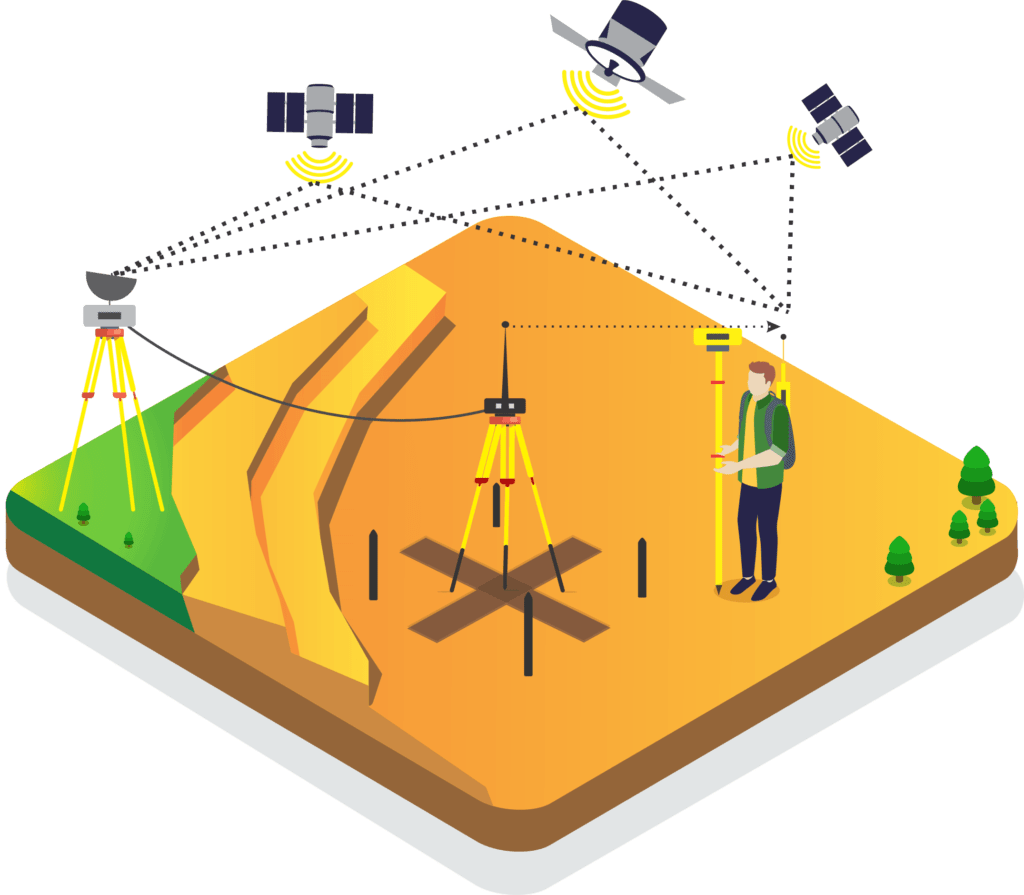
A control network is the framework of survey stations which serve as the reference monuments, to which other survey work is related. It is a wonder to know how a control network gets started. How would the first position be measured, if positions are measured relative to other positions? Geodesists develop exceptionally precise positional data by analyzing radio waves emitted by distant stars. By its nature, control surveying services needs to be precise, complete and reliable by using equipment of proven precision and with methods that gives accurate numerical measures.

Master Planning Support Survey
The purpose of Survey and Planning services in Coimbatore is to better serve and accommodate the needs of local habitats, businesses, and visitors to the city. Generally, Master Planning service surveyors prepare a master plan as a mechanism to work out land and infrastructure specifications for diverse urban and rural uses. It is also used to allocate land for various purposes so that cities are provided with a form and structure within which they can perform all their economic and social functions efficiently and effectively.
Subdivision and Layout Design Survey
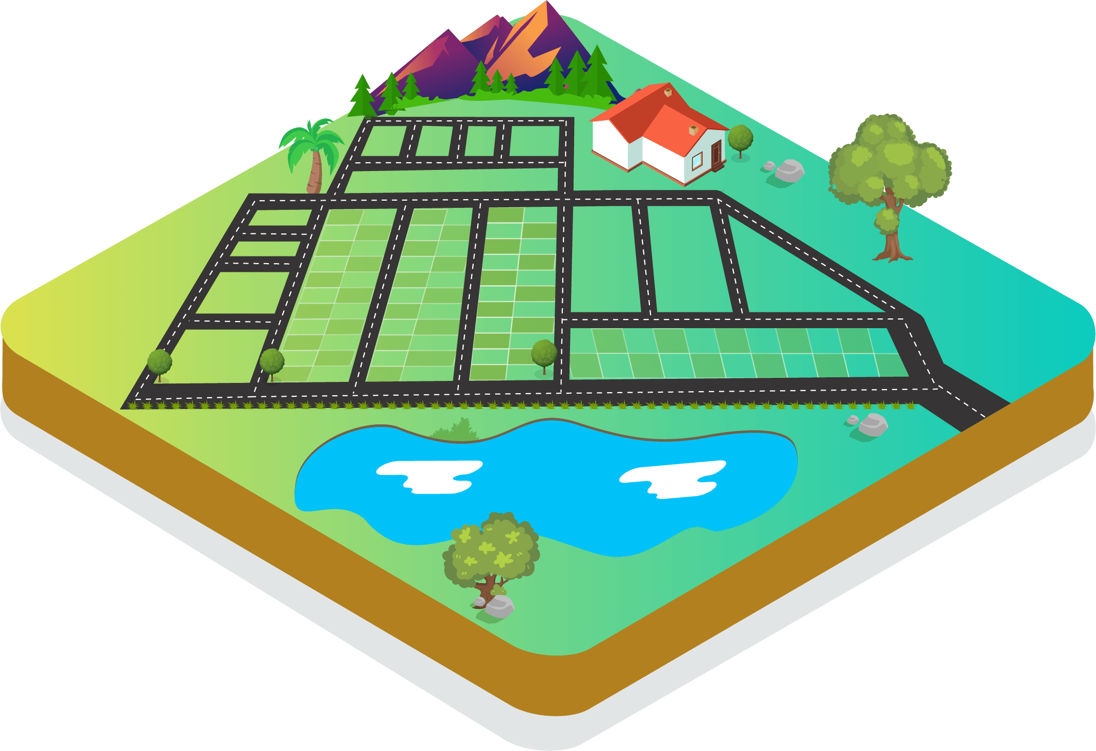
The entire locality consisting of a town or village or suburb needs a Subdivision Survey layout design for all types of land big enough to support a school, park, playing field, and recreational area. In the larger sense, Subdivision layout design services involve the distribution of space for relevant uses, the design of walks, streets, parking facilities, drainage, and utilities, the conservation of the natural resources, and its enrichment by landscaping.
At KONGUNADU SURVEYOR, we analyze the area based on population growth, family size, income levels, schools, taxes and assessments, transportation and traffic patterns, and direction of growth. For large areas Involving several types of housing, commercial or industrial uses, schools, and religious places, a more comprehensive analysis is carried out by our survey layout design services in Coimbatore.

DGPS SURVEY
A DGPS system is an improvement of the Global Positioning System to provide better location accuracy. Kongunadu Surveyor offers the best Global Positioning system survey in Coimbatore where the range varies from 15 meters nominal GPS accuracy to about 10 cm in case of the best implementations. A fixed position is used to adjust real-time GPS signals to exclude pseudo-range errors. The DGPS system is capable of enhancing the accuracy of GPS measurements as it duplicates the errors caused.
Our DGPS survey services in Coimbatore use a network of fixed ground-based reference stations to transmit the difference between the GPS satellite system and known fixed positions. The digital correction signal is broadcasted in the nearby vicinity by ground-based transmitters of a shorter range.

Alignment Planning Survey
Once the details of the natural and artificial features of the area are acquired using the topographic survey, the number of alternatives for the road alignment is suggested by our team at KONGUNADU SURVEYOR.
To do a rough survey, the Alignment Planning Survey services team in Coimbatore heads to the area under study with the minor surveying instruments like Abney level, Tangent Clinometer, etc. and then later it is surveyed in detail using some advanced instruments like levels, chain, and theodolite and Aerial Photogrammetry.
Leveling Survey
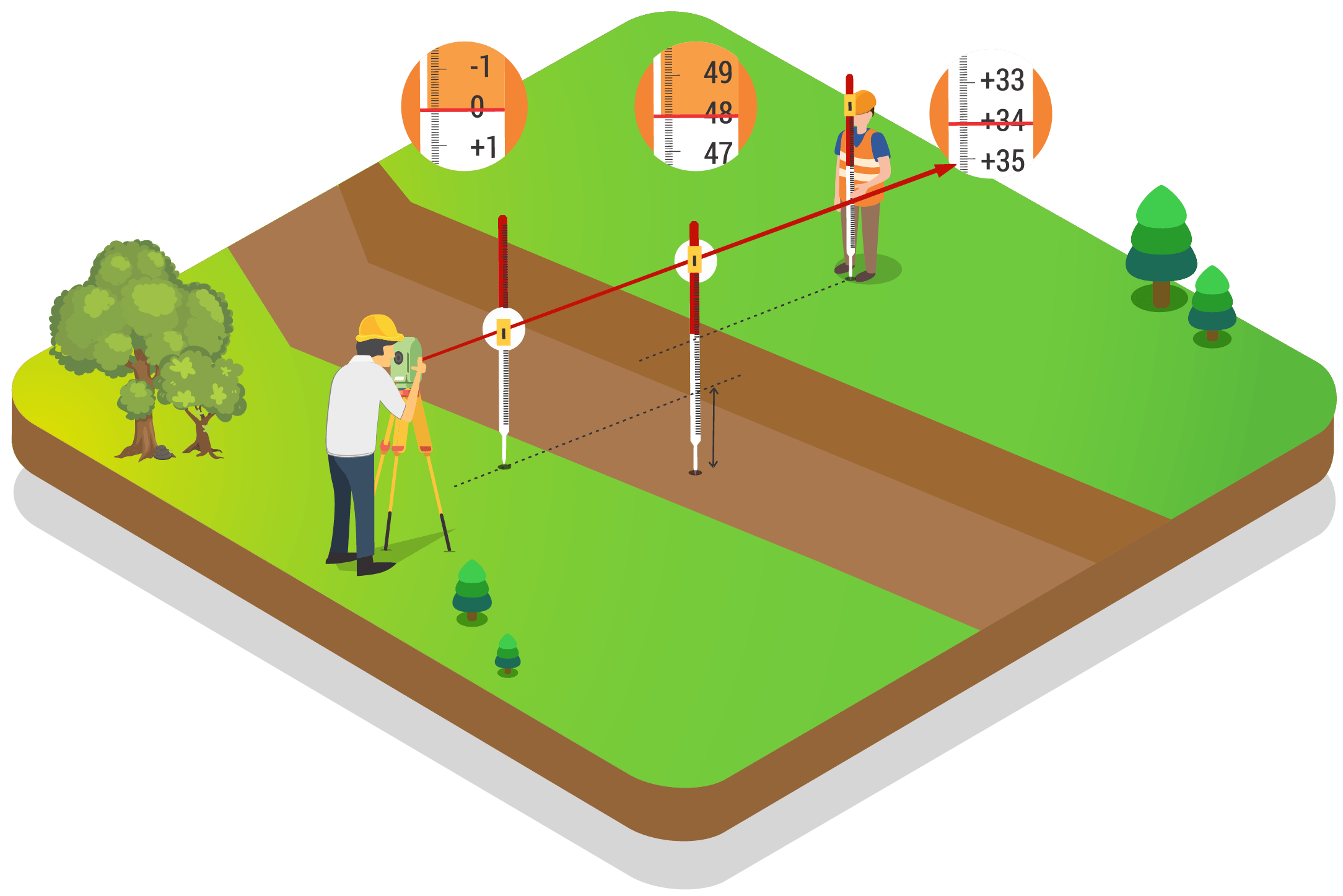
Leveling is a surveying method to assess the elevation between two points on the surface of the earth. As the earth is an oblique spheroid, the level surface will always be curved and not a plane one. The concept of leveling deals with the measurement of a vertical plane compared to a horizontal line of sight and is highly useful in the railways, and highways sector.
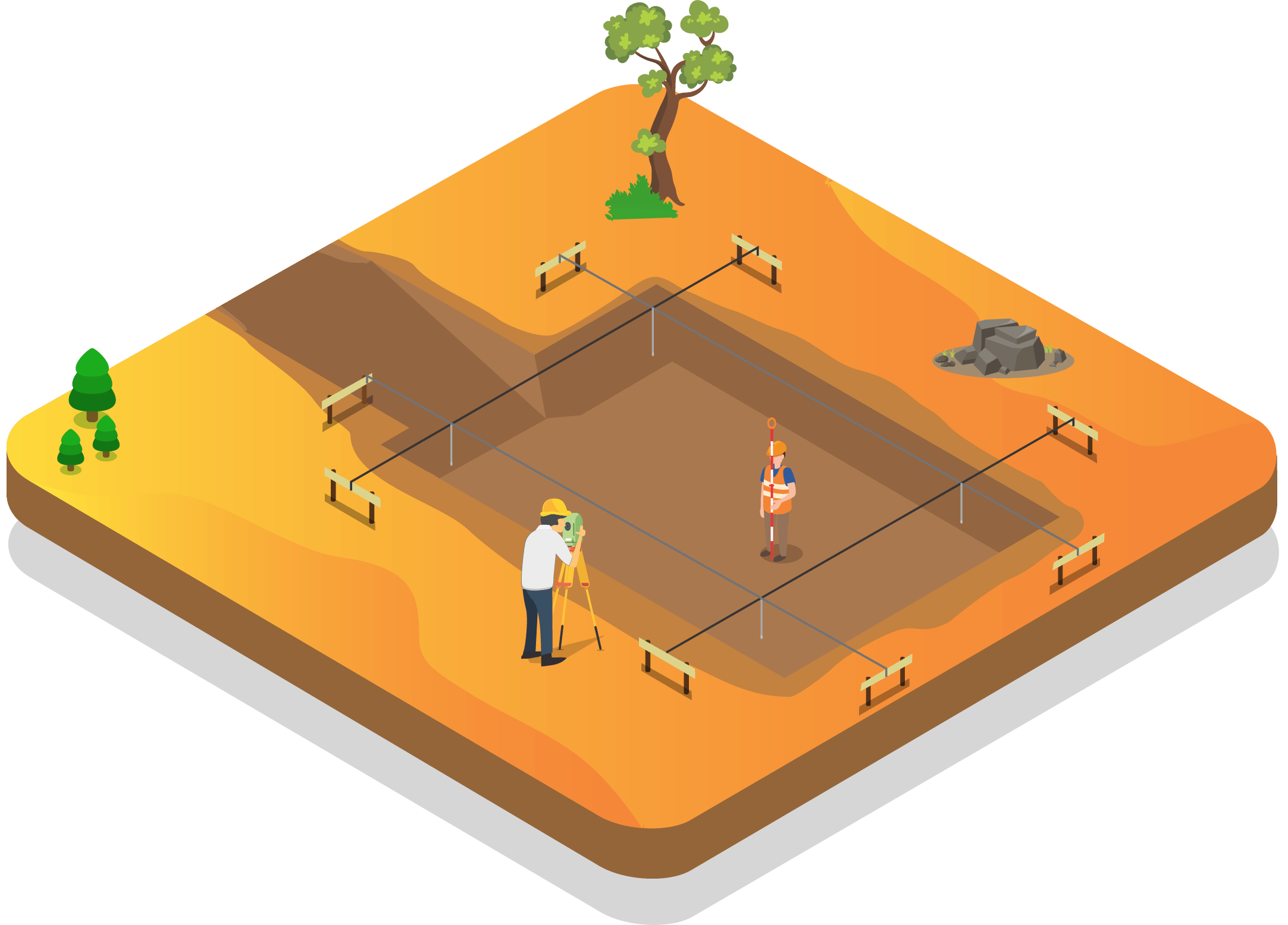
Earth Work Volume Calculation
The earth has to be undoubtedly moved for developing any piece of property. Engineering processes like cutting, breaking, loosening, removing, or handling batches of soil or rocks are called earthworks and are usually done for the construction of bridges, homes, roads, and dams.
Earthwork is more often an expensive procedure and estimates for more than half of the construction costs. The basic activity includes estimating earthwork volume and our team at KONGUNADU SURVEYOR is competent and trained in measuring and calculating it.
How to estimate Earthwork volume
The Kongunadu Surveyor team based in Coimbatore does the earthwork volume calculation services using different methods depending on the size of the project. The Average method is used for small projects where the need is only cutting and filling, which are the two important processes in earthwork. To calculate the volume for leveling before the construction of the building occurs, the Block method is used. For large infrastructure projects such as roads, dams, and railroads, the Section method is adopted. This method is tougher to work, but has the highest level of accuracy.
Furthermore, our earthwork volume calculation services team in Coimbatore considers the significance of soil on earthwork processes. Soil is generally a combination of silt, sand, and clay and holds three types of volumes, namely bank, loose, and compacted volumes. Soil has properties of expansion and contraction and our site engineers at KONGUNADU SURVEYOR take it into consideration during the earthwork analysis.
The volumes of earth to be excavated should be precisely measured and calculated accurately. Our surveyors practice two ways to accurately determine the volume, the traditional method, and the slotting technique. The traditional way of calculation is done with the help of a leveling instrument and drawing the cross-section to scale. The slotting technique is implemented for road-based construction and the measurements are taken with a ruler or tape and without much elaborate equipment.
At KONGUNADU SURVEYOR, the usual errors of man-made and nature are diminished to a very large extent as our earthwork volume calculation services are performed by surveyors, well experienced and qualified in the industry.


